


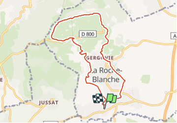

7.2 km | 9.3 km-effort

User GUIDE


FREE GPS app for hiking
 SityTrail
IGN / Geographical institutes
SityTrail World
The world is yours!
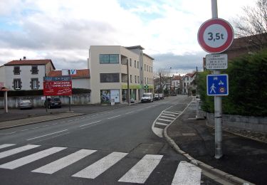
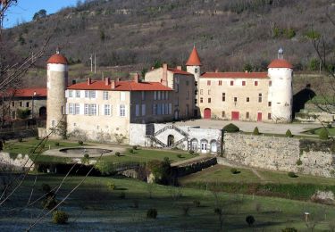
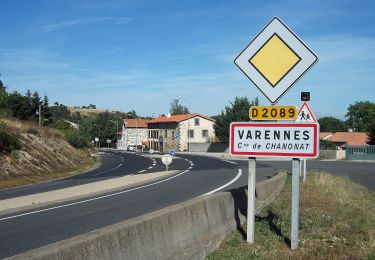
Trail Walking of 8.8 km to be discovered at Auvergne-Rhône-Alpes, Puy-de-Dôme, La Roche-Blanche. This trail is proposed by jagarnier.
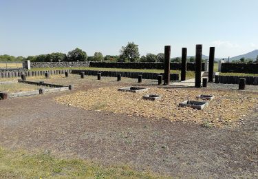
Cette randonnée permet de se retrouver sur les traces des légions de César qui tentèrent de prendre l'oppidum de Gergovie en 52 avant J.C.
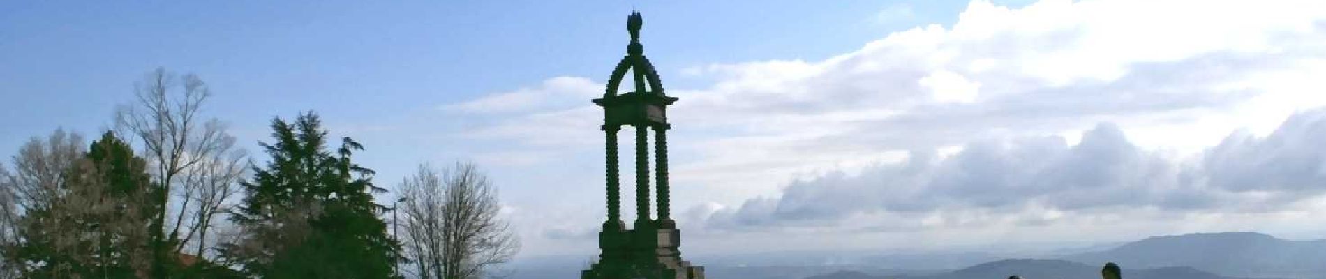
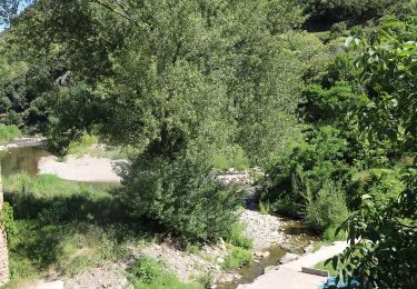
Vous pourrez découvrir les habitations troglodytes et la falaise de La Roche Blanche. Depuis le plateau vous aurez un vaste panorama vers le Puy de Dôme.

Walking
Walking

Walking
On foot
On foot
On foot
On foot
On foot
On foot